Drone Mapping Services
We leverage cutting-edge drone technology to provide comprehensive mapping solutions tailored to meet the unique needs of various industries. Our services are designed to enhance project efficiency, safety, and accuracy, making us the ideal partner for your surveying and mapping needs.
Comprehensive Data Collection and Analysis
Our drones are equipped with advanced sensors and cameras that capture high-resolution imagery and LiDAR data. This allows us to generate detailed 2D orthomosaics and 3D models that are essential for various applications, including:
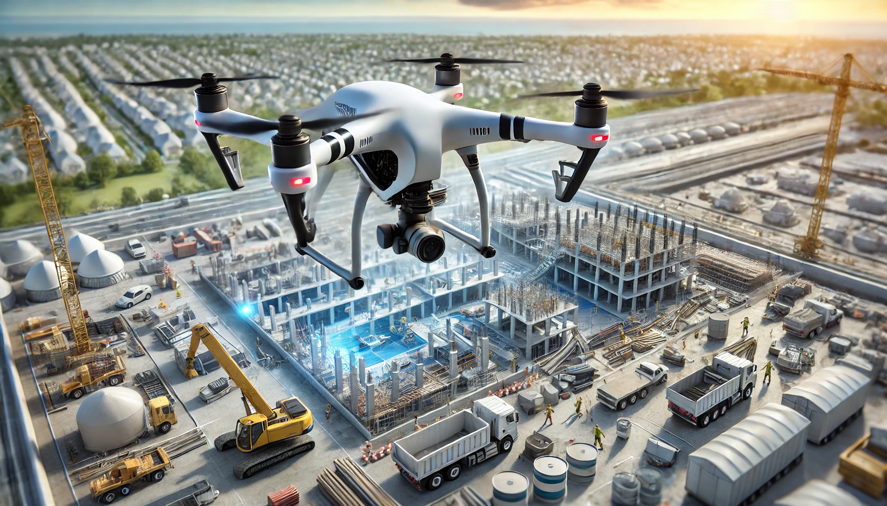
- Construction Planning and Monitoring: Our drone mapping services provide precise topographic maps and 3D models that are crucial for construction projects. This data helps in planning, progress monitoring, and ensuring compliance with design specifications.
- Agricultural Management: We offer detailed aerial surveys that help in crop monitoring, irrigation planning, and detecting issues such as pest infestations and crop diseases. Our data supports informed decision-making, leading to improved crop yields.
- Environmental and Conservation Efforts: Our drones can survey large and remote areas, providing valuable data for environmental monitoring and conservation projects. This includes tracking changes in terrain and vegetation over time.
- Infrastructure Inspection: Our services include inspecting critical infrastructure such as power lines, solar panels, and wind turbines. This ensures timely maintenance and reduces the risk of failures.
Benefits of Our Drone Mapping Services
- Enhanced Efficiency: Drones can cover vast areas quickly, reducing the time required for data collection from weeks to days. This speed translates into faster project completion and real-time decision-making.
- Improved Safety: Using drones to survey hazardous or inaccessible areas minimizes the risk to personnel. This is particularly beneficial in areas with difficult terrain or dangerous conditions.
- Cost-Effectiveness: Our drone mapping services reduce labor costs and increase the accuracy of data collection, making it a cost-effective solution compared to traditional methods.
- High-Resolution Data: We use advanced photogrammetry and LiDAR technology to capture detailed images and create precise 3D models, enabling better analysis and planning.
Our experienced team of certified drone pilots and data analysts is committed to delivering high-quality results, ensuring that you get the most out of our drone mapping services. Contact us today to learn how we can help you unlock the potential of drone technology for your business.


