
+
customers

About Us
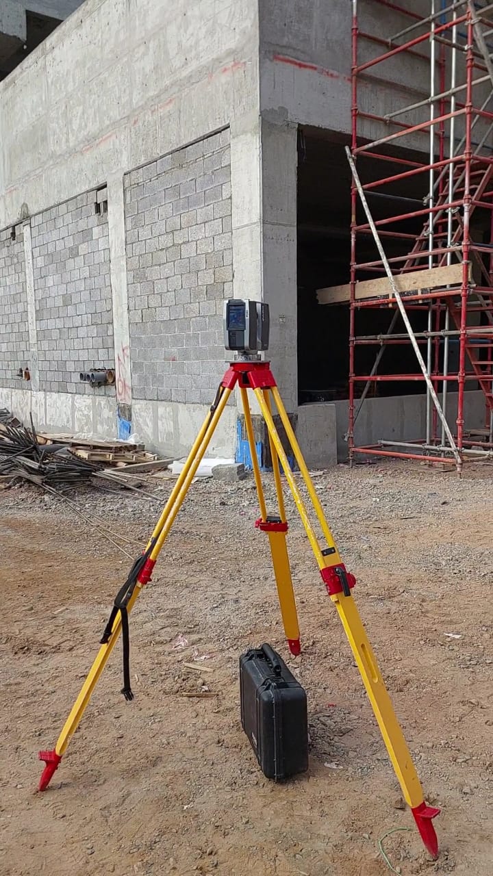
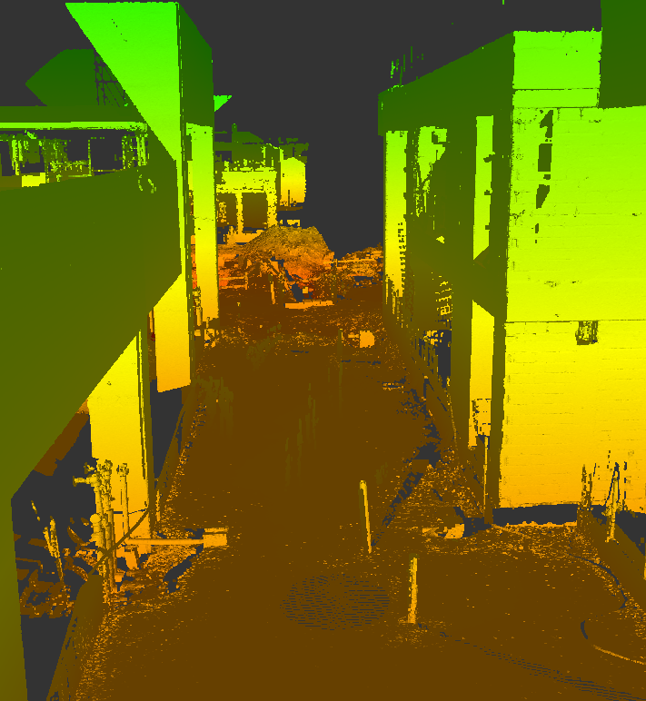
We have been operating in the fields of geomatics, surveying, and geographic information systems for over 20 years. Over the past decade, we have adopted the latest technologies such as 3D laser scanning, drone surveying, and buiding and analysis of GIS databases for construction and engineering projects, as well as 3D modeling and Scan to BIM.
GeoSystems possesses all the equipment, expertise, knowledge, and other resources necessary to handle all types of land and aerial surveying projects, 3D laser scanning, photogrammetry, virtual reality, and augmented reality, regardless of their size and complexity.
Over the past seven years, we have successfully completed numerous large-scale projects in Saudi Arabia and Egypt within the designated timelines, ensuring the required precision and quality.


